Education and Training
Course and workshop topics offered
include:
- Geology
- Archaeology and the landscape
- Archaeological monument survey
- Geophysical field survey
- Computer data processing for geologists and
archaeologists
Programmes are specifically tailored for each
group. Courses can be theoretical and/or practical
and can range from one to five days in duration or
be delivered over a number of weeks. Comprehensive
notes and/or instruction manuals are normally
provided.
Education and training services are based on
over 25 years experience in delivering college,
residential and field-based education and training
in Ireland, England and Norway. Clients include:
community groups, amateur and professional
historians and archaeologists, certificate,
diploma, undergraduate and postgraduate
fieldschools. We prefer to work with clients to
develop courses to meet their specific needs.
For residential field courses we can arrange a
total package including field survey area,
lecture/computer rooms, accommodation and evening
lecture programme.
Selected courses successfully delivered
Balla Secondary School, County Mayo
BARS_1 & BARS_2; Balla Archaeological Remote Sensing Project
A Remote Sensing Module for Transition Year Students
- Introduction to remote sensing
- Geophysical fieldwork and kite aerial photography
- Data entry and processing
- Data visualization and interpretation
- Data Presentation
Geophysical Surveys in Progress: Trace of the Past Exhibition
Kilberry Amenity & Heritage Group, Co Meath
Community Training Workshop
- Introduction to remote sensing
- Geophysical fieldwork
- Data visualization and interpretation
- Data Presentation
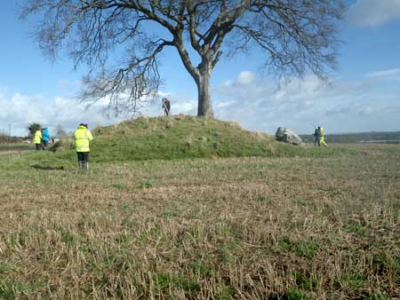
Simultaneous Topographical and Geophysical Surveys of Rathcoon Barrow.
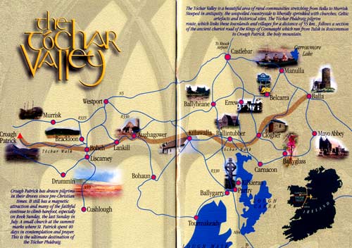
Tóchar Valley Rural Community
Network
"The Landscape Heritage of the Tóchar
Valley"
An Introductory Course with Thematic Workshops
Course delivered over seven successive Saturdays
in local community centres
- Introduction to Landscape Heritage
- Presentation of Heritage Information 1
- Local Geology and Landscape
- Evidence of Human Settlement
- Local History and Folklore as Tourism
Products
- Case History; Interpreting the Heritage
Landscape of Turlough
- Presentation of Heritage Information 2
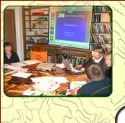
University College Cork
"An Introduction to Archaeological
Geophysics"
A weekend course for the MA in Archaeology
- Introduction to the Course
- Integrated Survey Design
- Magnetic Gradiometry and Magnetic
Susceptibility
- Resistivity Mapping and Tomography
- The Development of Archaeological Geophysics
in Ireland
- Electromagnetic Techniques
- Ground Penetrating Radar
- Geophysical Data Acquisition and
Processing
- Guidelines and Limitations on
Interpretation
- So you want a Geophysical Survey, What
next?
- Case History: Rathcroghan Mound, Co.
Roscommon
- Field demonstration of Global Positioning
System, Total Station, Magnetic Gradiometer,
Earth Resistance, Magnetic Susceptibility,
Electrical Resistivity and Tomography

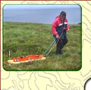
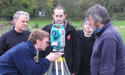
Earth Resistance
technique
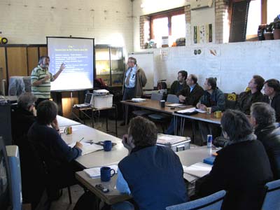
Birkbeck, University of London
"Geophysical Survey Techniques"
A five day field course delivered at Woodlands
Farm, Kent, England
- Review of terrestrial and
waterborne geophysical applications in
archaeology
- Introduction to geophysical
instruments, survey methodology,
quality control and writing technical
reports
- Setting out survey grids, the
global positioning system, use of an
Engineer's level and total station
- Micro-topographic and magnetic
susceptibility survey methods
- Processing of survey data 1
- Magnetic gradiometry and earth
resistance survey methods
- Processing of survey data 2
- Interpretation of survey
results
- Question and answer session on the
application of geophysical survey in
archaeological assessment
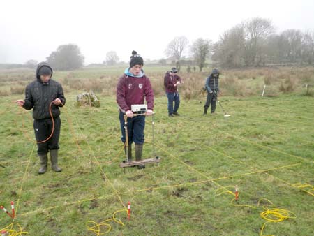
|
Magnetic
Gradiometer survey
|
Illinois State University, Center for the Study
of Rural Ireland
Archaeological and Geophysical Survey as part of
an excavation fieldschool lasting four to six
weeks.
One to one tuition and hands-on experience in
collecting archaeological survey and geophysical
data as part of ongoing research.
- Global Positioning System
- Total Station
- Magnetic Susceptibility
- Magnetic Gradiometry
- Earth Resistance
- Electrical Resistivity Tomography
Please contact us if you have education and
training requirements so we can work with you to
develop a programme that meets your needs.
Total Station
Sliabh Coillte Heritage Group, Co Wexford.
Community Training Workshop
- Introduction to remote sensing
- LiDAR analysis and field-walking
- Geophysical fieldwork
- Data visualization and interpretation
- Data Presentation
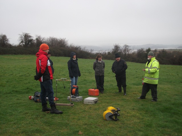
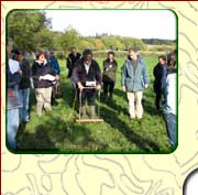
Briefing before starting a geophysical survey at Kilmokea Enclosure
(Photo : John Flynn)
Contact Details
Landscape and Geophysical Services
Convent Road
Claremorris
County Mayo
Ireland

|
|
| Archaeological Geophysical Surveys
| Geological Surveys
| Environmental Surveys
| Research & Development
| Publications & Presentations
| Education & Training
| Project Management |
|